Idroland Fly Zone – Dual Paragliding and Siv Courses at Lake Idro
Idroland Fly Zone - Info
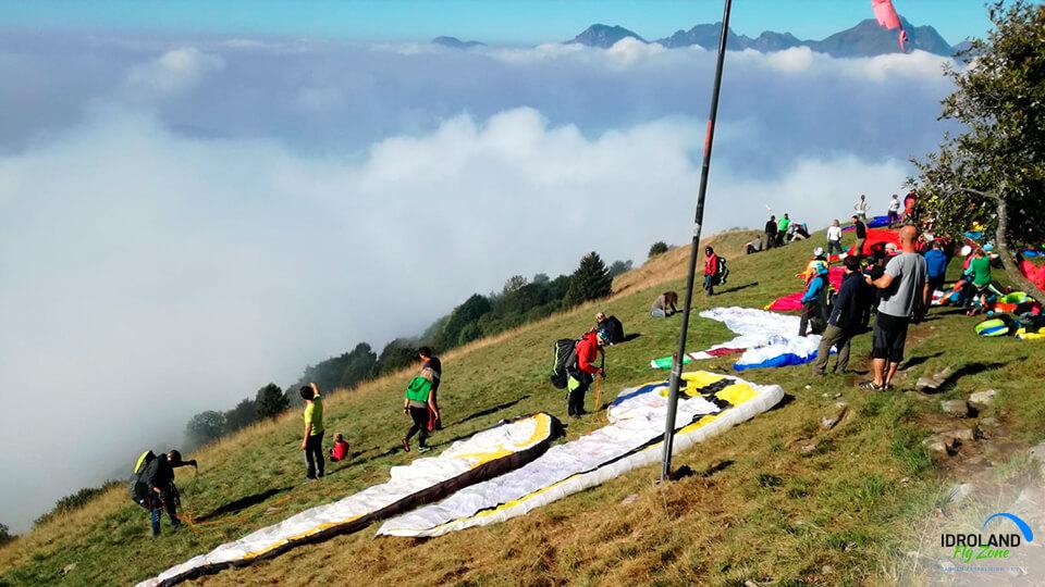
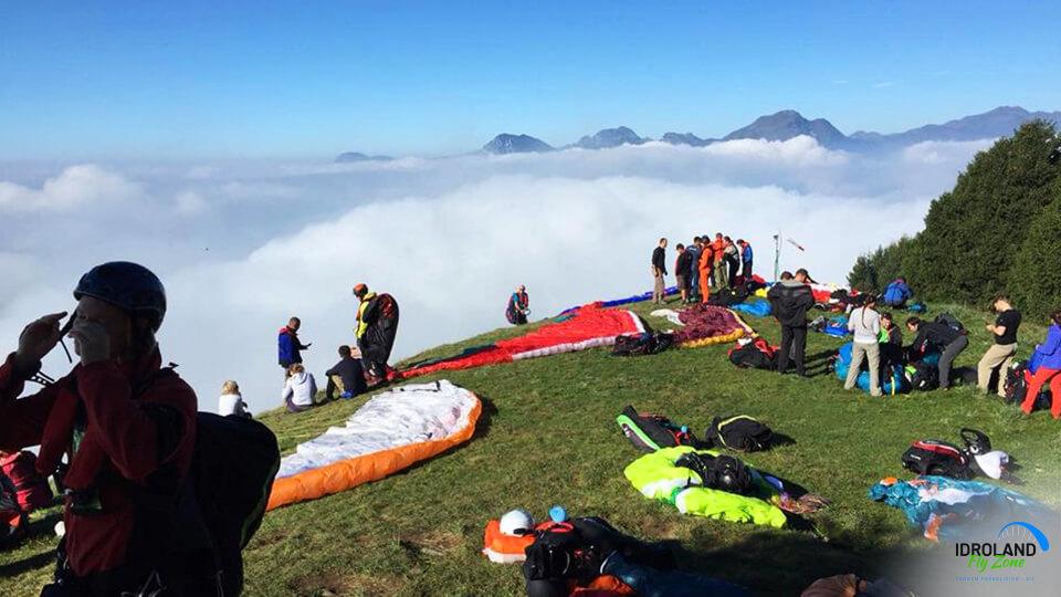
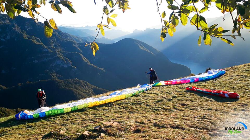
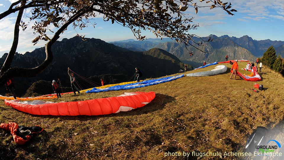
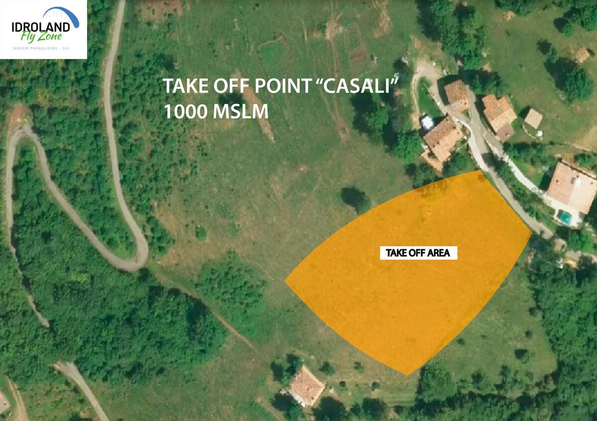
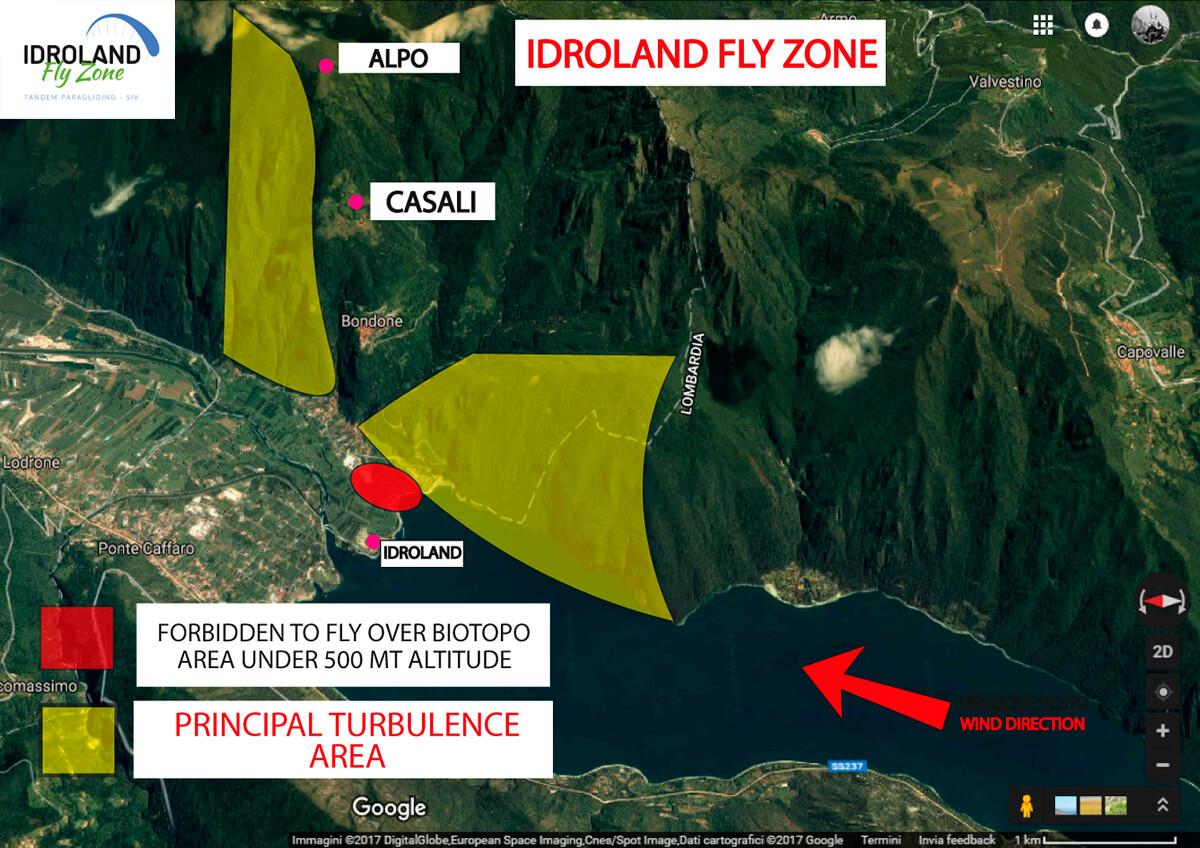
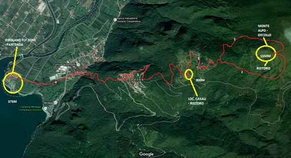
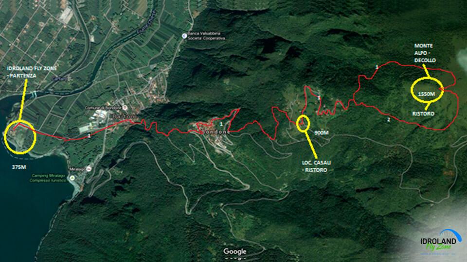
Idroland Fly Zone is a location for paragliding, hang-gliding and speed fly, north of Lake Idro and on the border between the provinces of Trento and Brescia.
It is located in the municipality of Bondone, and more precisely in its tourist hamlet called Baitoni.
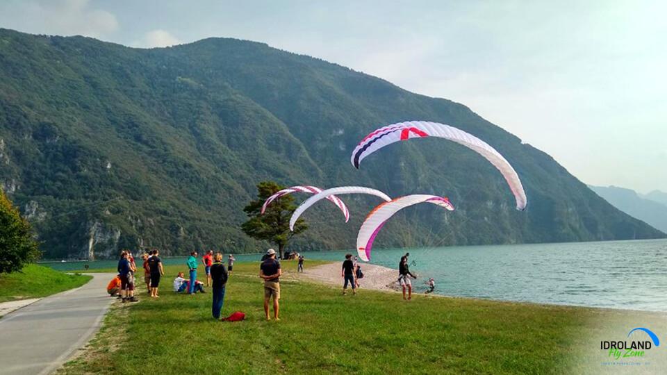
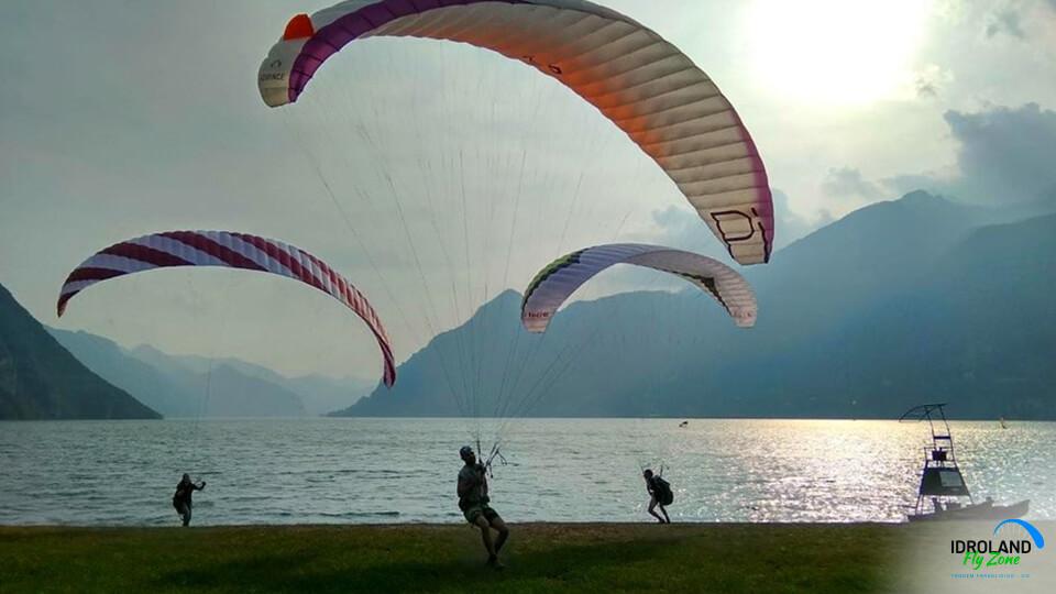
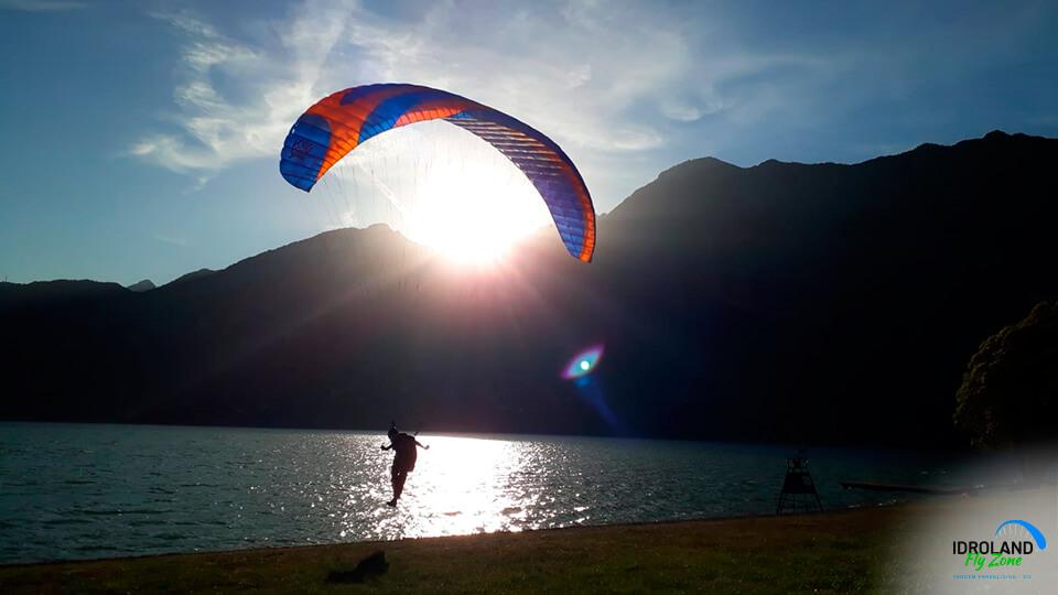
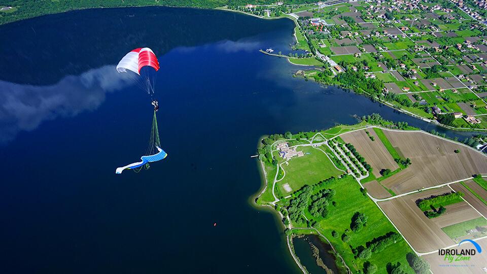
It is well-known thanks to Lake Idro, which is 10 km long, has a perimeter of 30 km and is a symbol for this area.
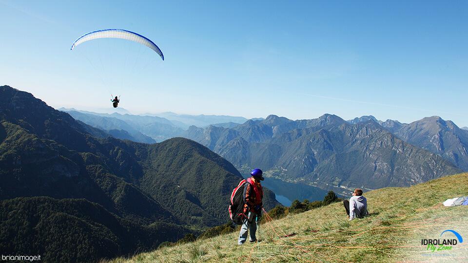
The valle del Chiese goes north-south, with lake Idro at its lower end, the Dolomites at its upper one and the Adamello glacier at its sides.
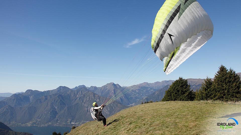
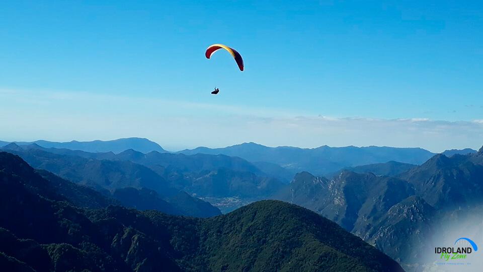
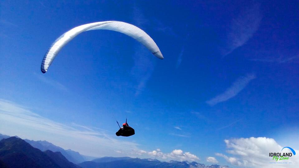
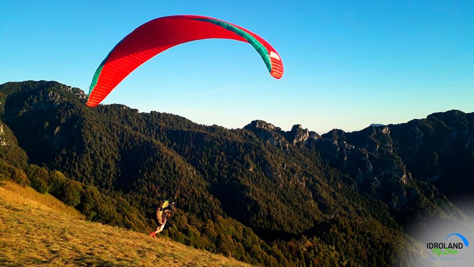
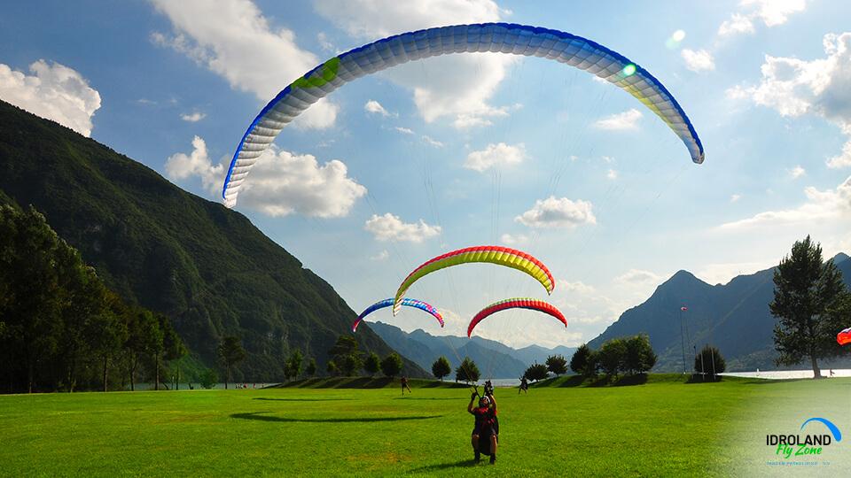
While flying regularly you can reach 700/800m above the lake surface, an ideal altitude for acrobatic maneuvers or SIV lessons.
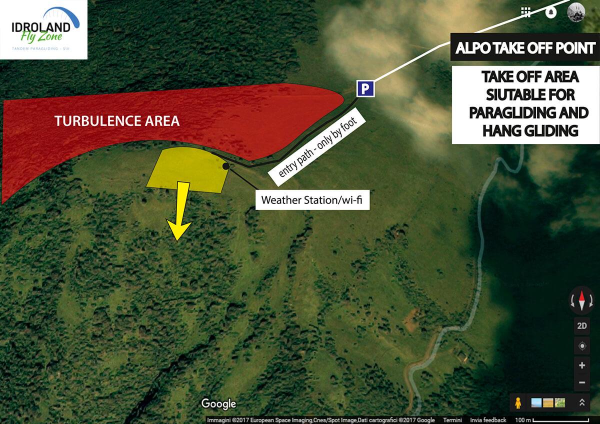
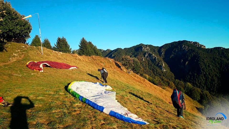
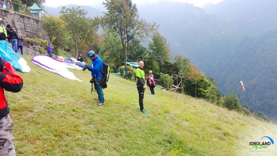
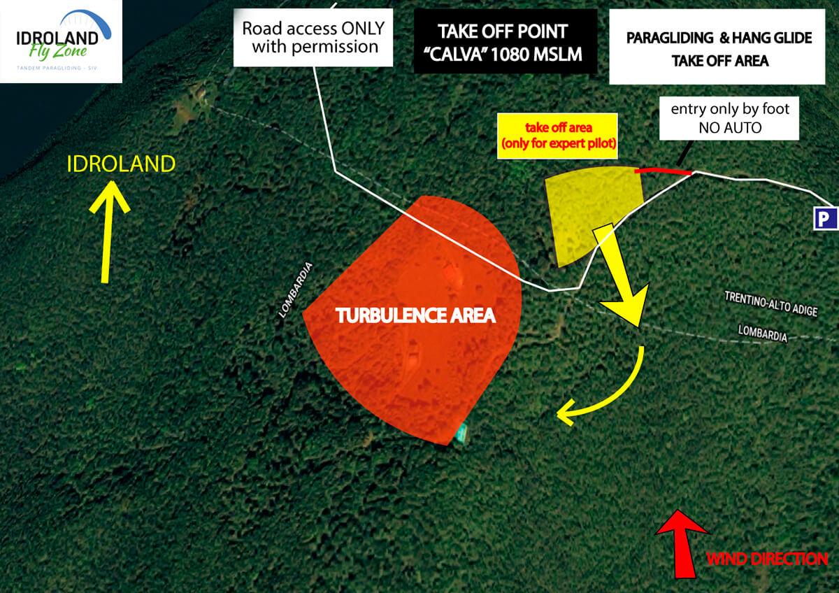
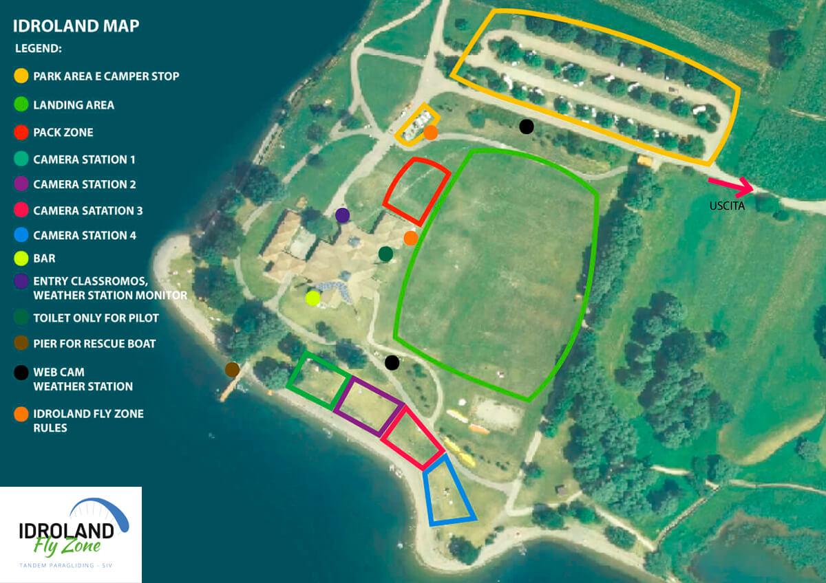
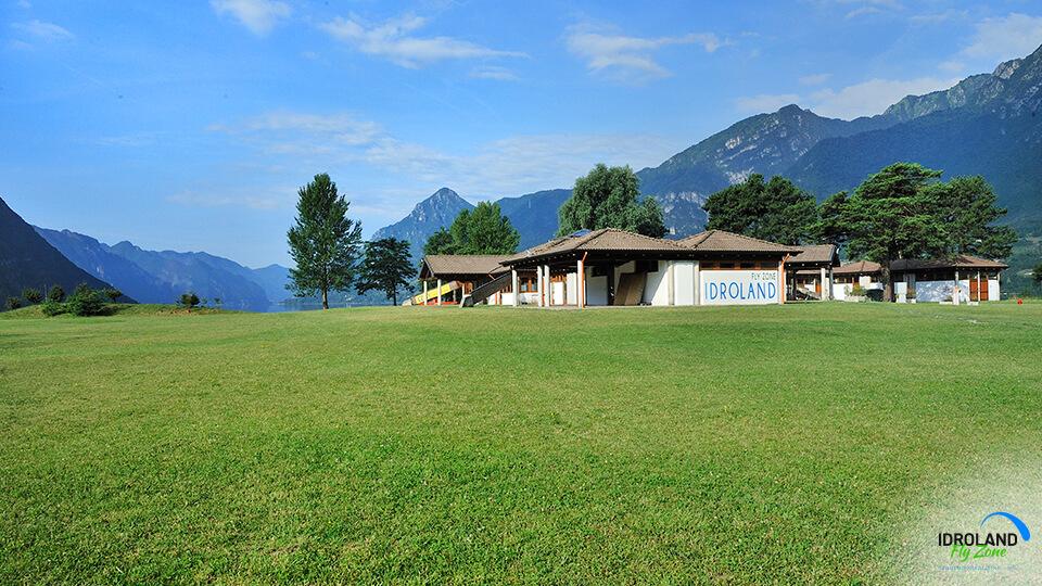
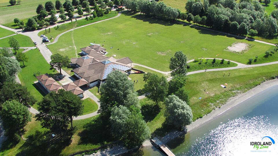
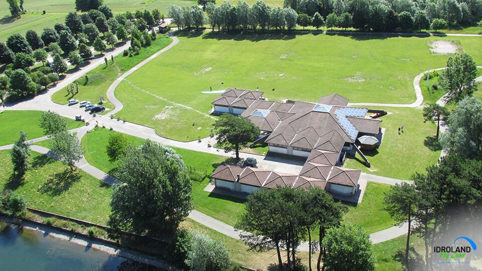
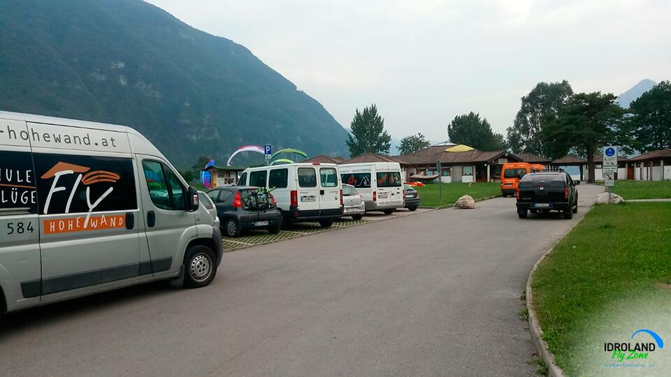
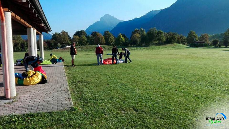
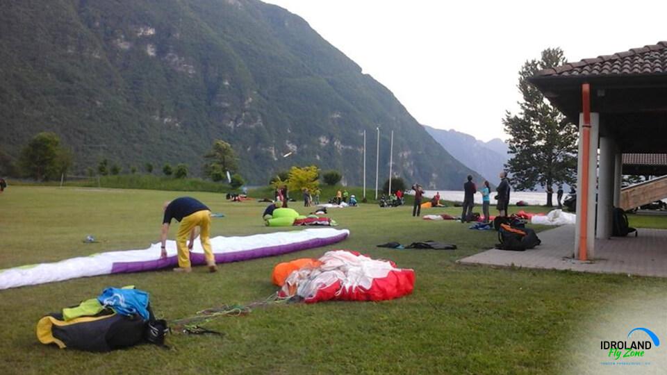
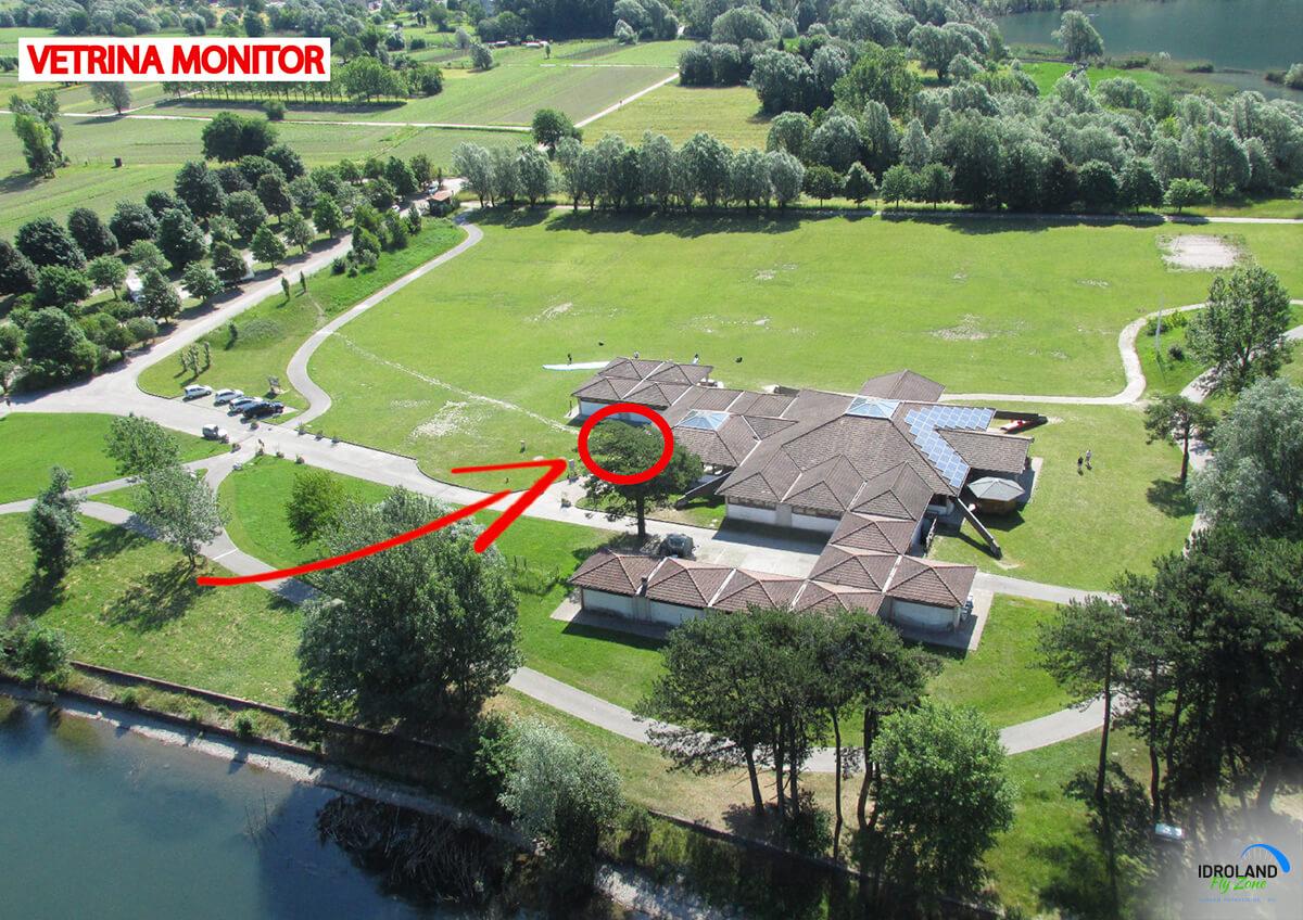
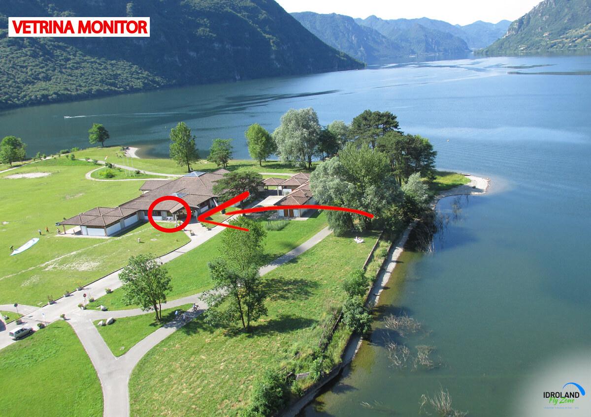
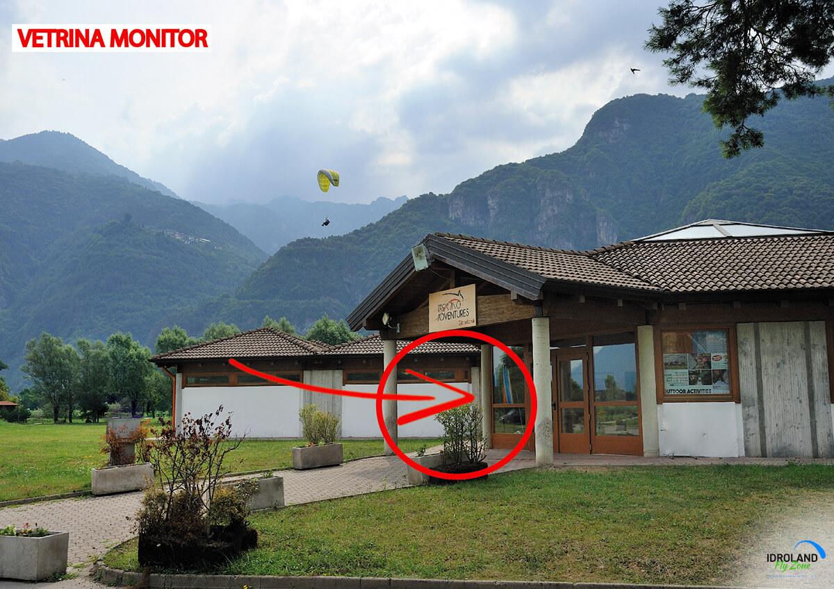
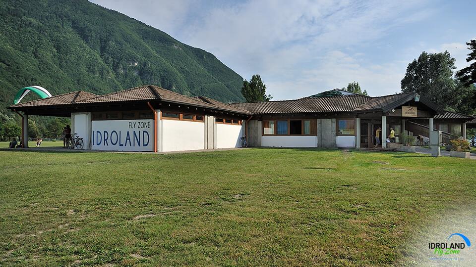
The landing area features a wide building for events, conventions and course lessons.
![]()
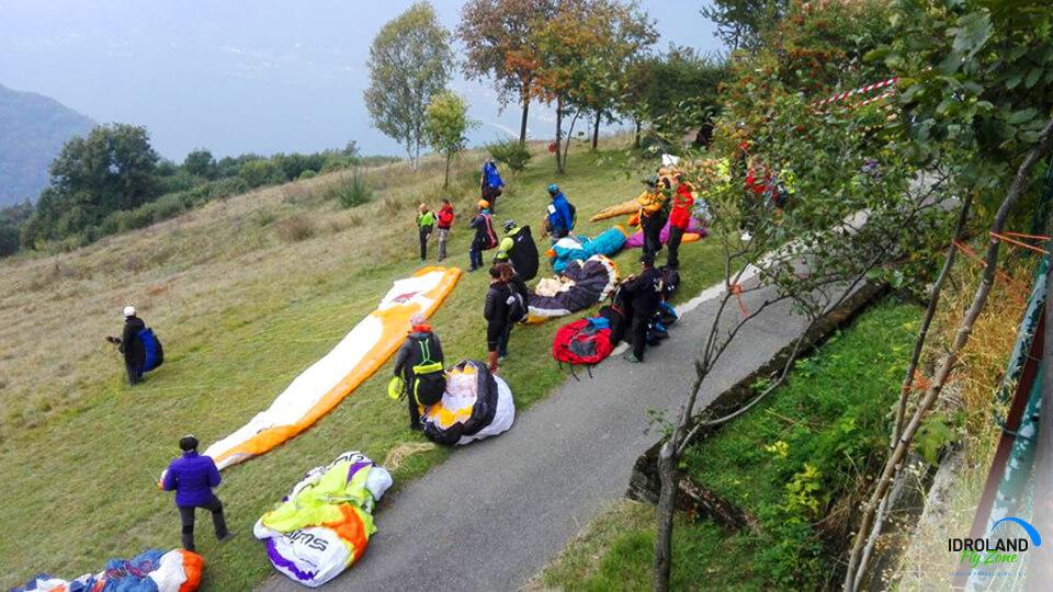
When
Flying is possible from spring (early April) to late autumn, up to the first snow days.
During winter the roads are closed due to the risks posed by snow and avalanches.
It is still best to call the Tourist Office or the town authorities for updated news about the roads at the beginning/end of the season.
![]()
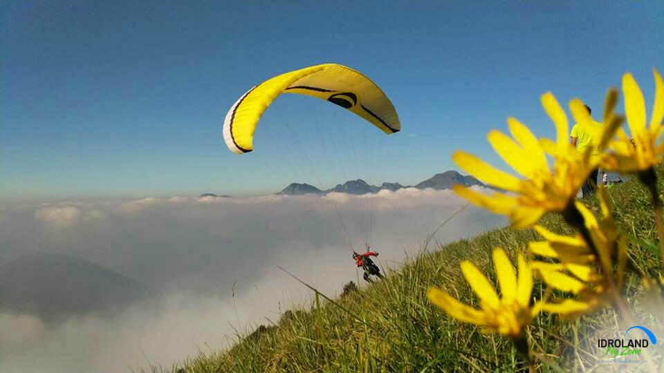
Winds and thermals
In the mornings there are usually no winds blowing in the valley, while at take-off height there may be some light breezes, nevertheless nothing as strong as the strong northern winds common of the area south of the Prealps.
Starting at noon, or later in the autumn, the “Ora” wind starts blowing, a linear, southern wind, which can become rather strong during the afternoon; at higher altitudes mid-afternoon offers relevant thermal activity.
For learners it is best to fly between 8 and noon, and after 6 p.m.
![]()
Fly Card
All pilots and flight fans not accompanied by a school do not need to have a fly card.
Flight schools planning to hold a course here must first register with our office and then they will be licensed to fly here and the student will receive a Fly Card.
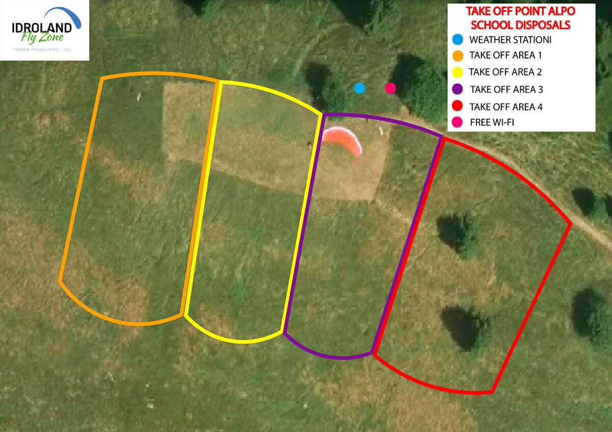
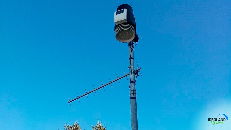
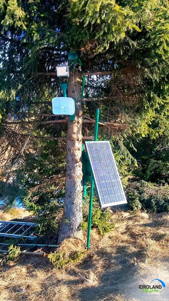
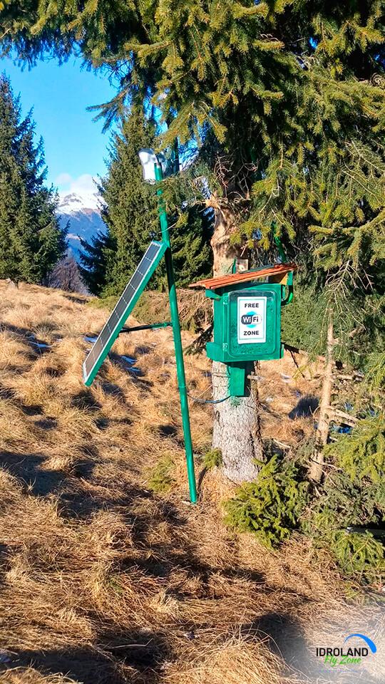
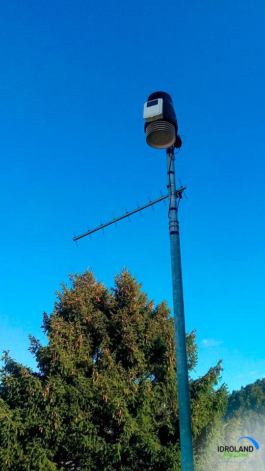
It is highly advised to check the weather forecasts at METEOTRENTINO: (https://www.meteotrentino.it/) and our meteo stations before flying.